Flood Insights

Overview
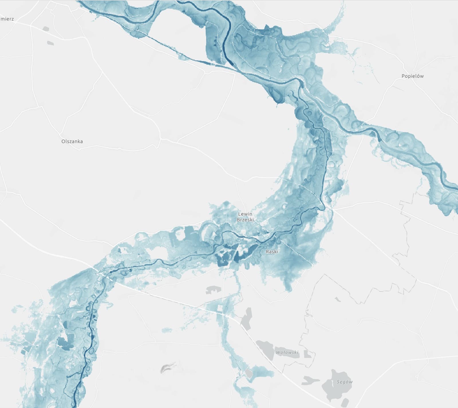
ICEYE's flagship natural-catastrophe product: SAR-derived flood extent, depth, and duration at building level, delivered as GIS layers and APIs for insurers, reinsurers, and emergency agencies. The same SAR stack supports wildfire building-level damage and hurricane rapid-impact maps. Unlike modelled flood surfaces, ICEYE sells observed water from its own constellation, including through cloud cover at night.
Commercially deployed with insurers including Swiss Re, Tokio Marine, and Sompo Japan (contract announced September 7, 2026). Government and utility users include Norway's NVE, Iberdrola, and a growing list of emergency-management agencies. An August 2026 partnership with The Water Institute adds the FloodID predictive platform to ICEYE's US flood stack.